 |
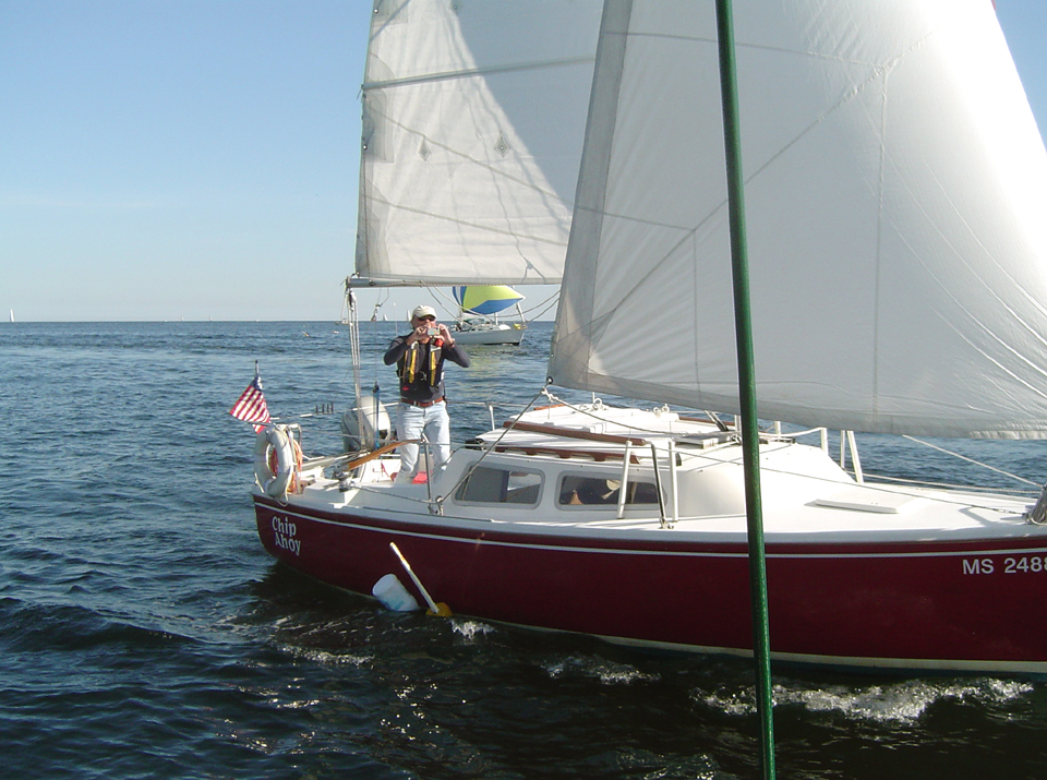
Whoa, Ford -- never mind the photos,
watch out for those lobster trap buoys!
(Oct. 12, 2008) |
 |
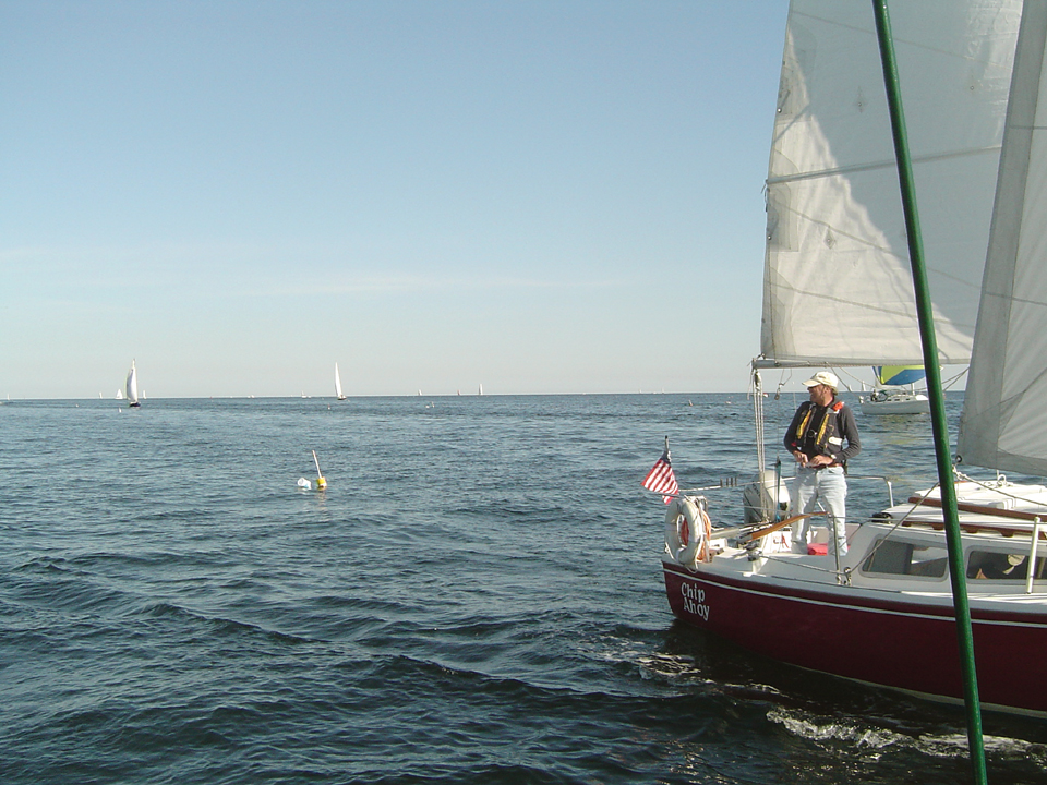
Whew, no harm no foul -- or is that no foul no harm?
That was a close one, too close! |
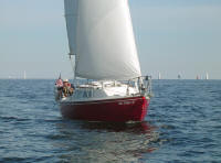 |
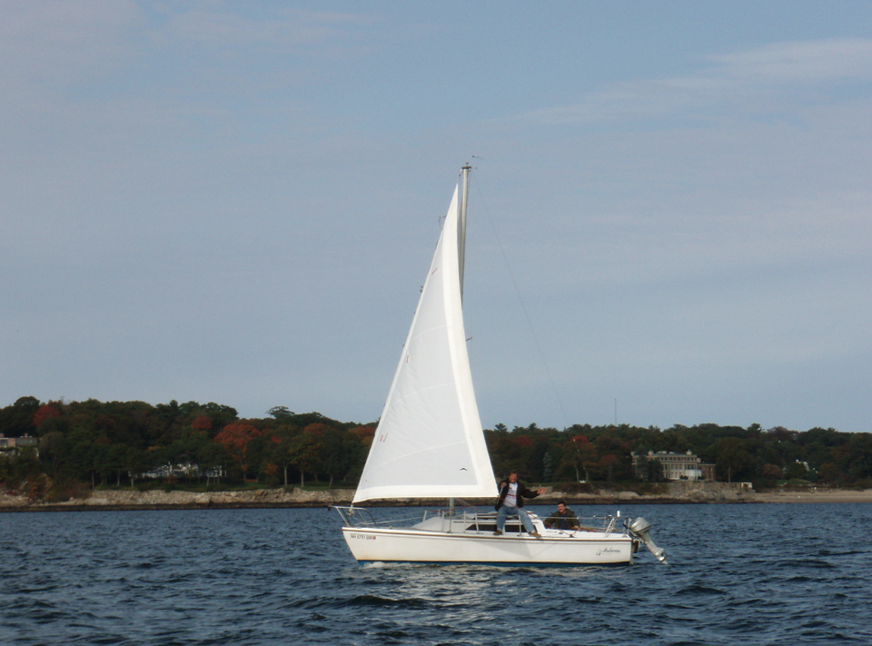
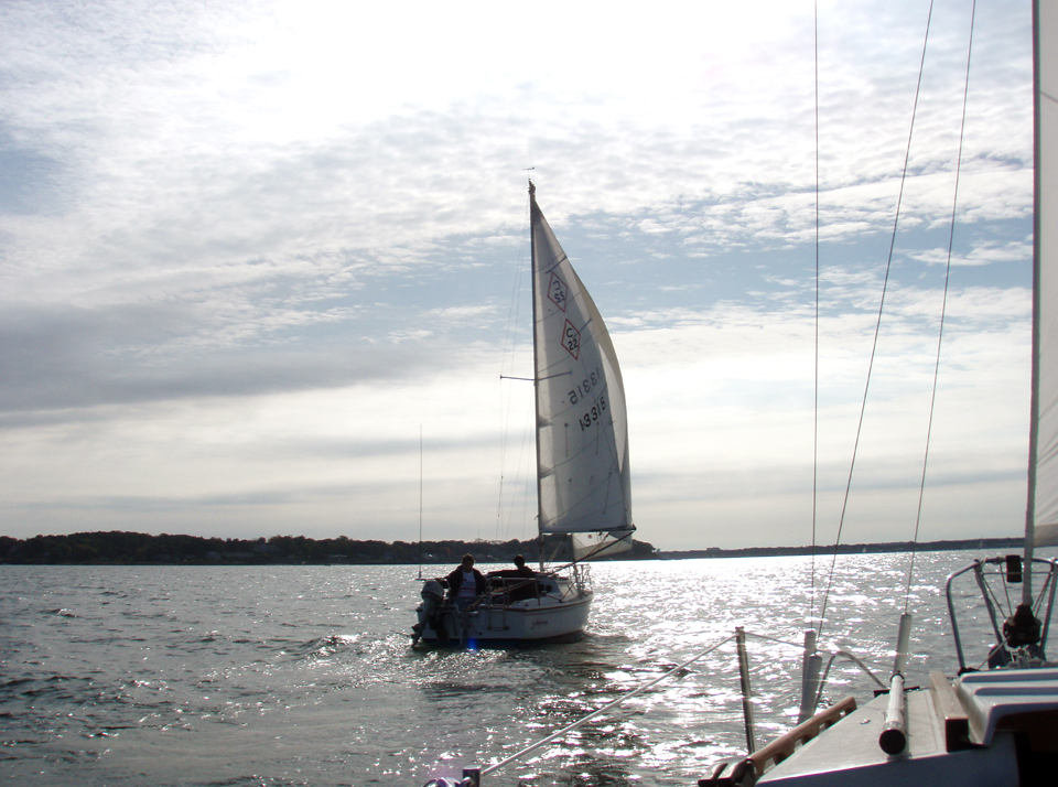
Heading in at the end of a beautiful mid-October day
rendezvous. |
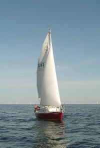 |
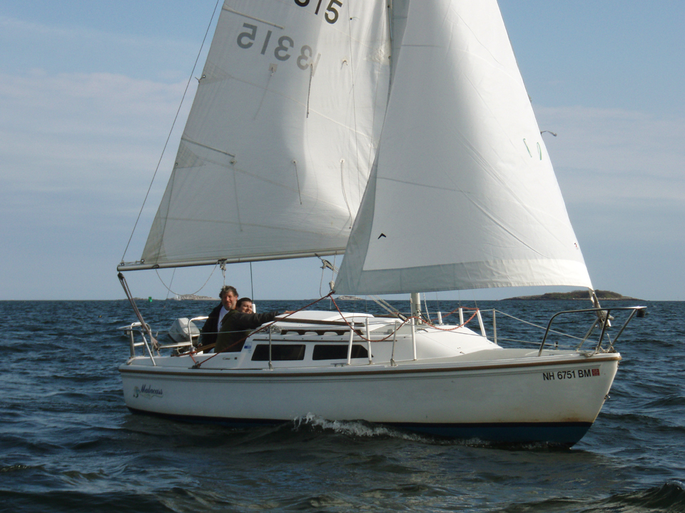
The parting shot -- just before John's outboard problem.
(Oct. 12, 2008) |
Day Two -- Second Rendezvous and Photo
Shoot
October 13, 2008 |
 |
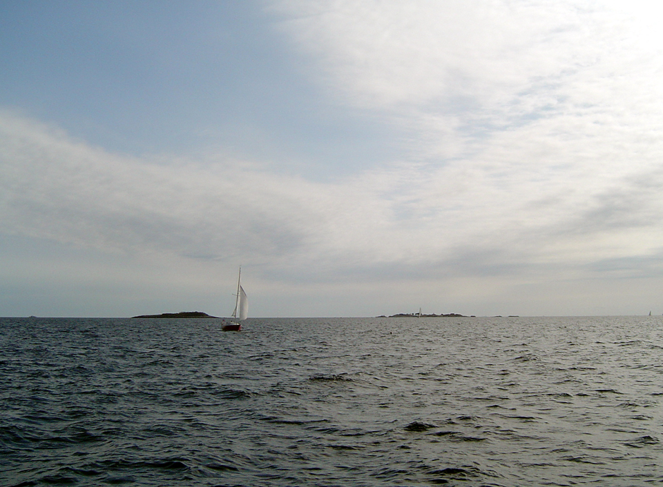
The next day we did it again. The weather wasn't as
nice -- much more overcast and cooler, but with slightly better wind
though out of the northeast. (Oct. 13, 2008) |
 |
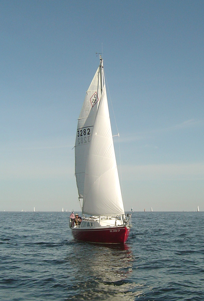
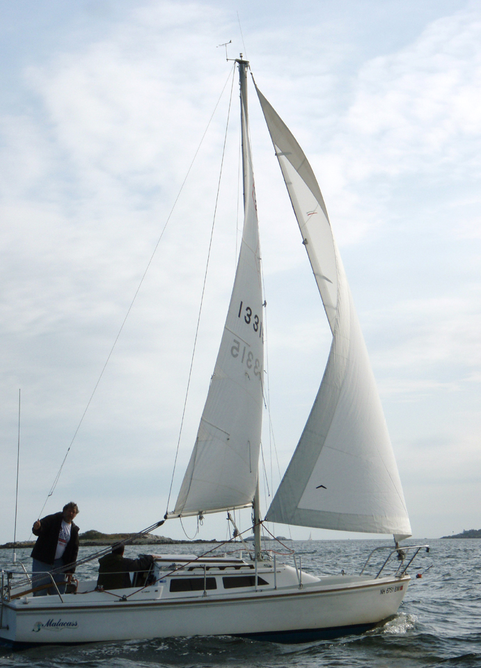
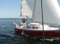
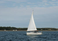
Finding Malacass out there was a bit more difficult.
When I first called John on our cell phones, he reported his location as
"just off West Beach" off Misery Island. I had to do a lot of
tacking to get out of the harbor and up Salem Sound directly into the NE
breeze so it took Chip Ahoy awhile. I kept an eye on the Beverly
shoreline for a Catalina 22 between it and Chip Ahoy, but saw nothing
resembling one. (The photo to the left captured John playing
"Human Whisker Pole" as they sailed Malacass wing-and-wing!) |
 |
Eventually I called John again, learned he was heading
past Bakers
Island toward Eagle Island, well to the east of where I expected
Malacass to appear. He updated me that he was heading back toward
Misery Island and back toward our harbor. |
 |
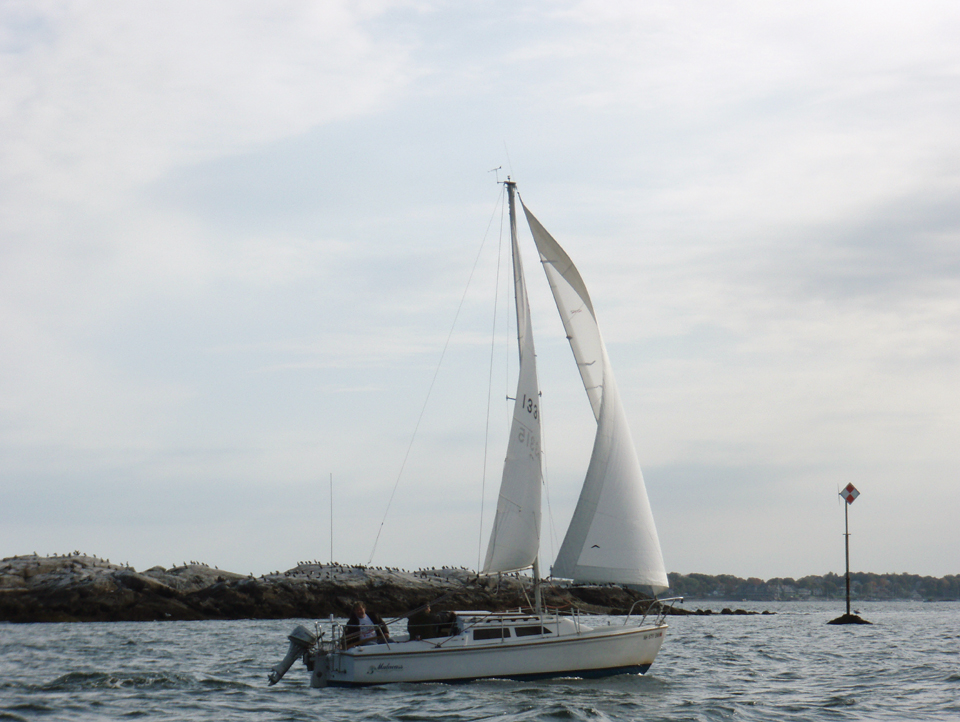
A little while later I thought I spotted a C22 in the
distance crossing from inside Bakers Island toward Misery, sailing
wing-and-wing. I called and he confirmed that was Malacass, John,
and his buddy Craig. |
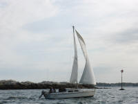 |
We soon met up at
about 3:00 pm and headed back to our
home harbor. Here's Malacass with Great Aquavitae Ledge daymarker
in the near background. |
 |
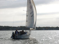
Malacass heading toward Naugus
Head, Marblehead on its portside and Salem Harbor between us. |
 |
Malacass off Naugus Head. (Oct.
13, 2008) |
 |
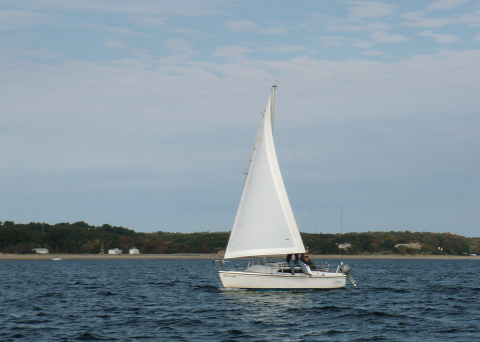
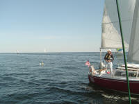
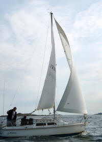
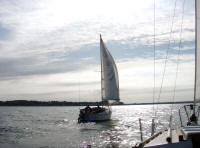
Chip Ahoy approaching Malacass earlier in the day, the
following photos by John Graichen. Childrens Island, right, and
Eagle Island are on the horizon. (Oct. 13, 2008) |
|
Page 1 |
Back to Page 2 |
NEXT |
|
Taking advantage of a late-season weather gift! |
|
Sailing Season '08 is coming to an end |