|
|

Chip Ford's 1974 Catalina 22
Restoration Project
Sail #3282 l Marblehead, Massachusetts |
|
The never-ending project to fill my hole in
the ocean while bailing it out
Gloucester Harbor Overnighter 2010
September 18-20, 2010
|
| Click
thumbnails for a larger picture |
Description |
 |
Early on Saturday morning I headed
down to the boat with a plan to sail up to Gloucester Harbor for the
weekend, overnight or maybe two. Sailing season is running out, so it
was time to get in more sailing while I could.
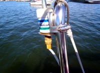
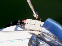
While setting up the boat on its mooring, I noticed the
stern pulpit-mounted backup antenna (left) covered with corrosion. This
no doubt was a result of the large waves and heavy salt spray coming
over the cockpit during my recent
Buzzard's Bay ordeal -- the same condition that did in the battery
cable connector (right). (Sep.
18, 2010) |
 |
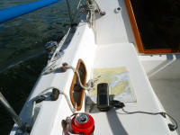 |
As the Garmin GPSMap 478 had crapped
out (maybe another victim of that Buzzard's Bay salt spray), was
shipped back a few days ago to Garmin for repair, I had to fall back on
the backup handheld, the Garmin GPSMap 76CS. Fortunately the cockpit
cigarette lighter plug and power cable still worked, so I didn't need to
depend on its internal AA batteries.
The year-old 478 wasn't working right
even before the Cape Cod
cruise (I couldn't upload data from a computer to the unit without
first wiping out everything on the unit), but last week it became
inoperable -- finally telling me the "antenna is shorting out," failing
to pick up satellites or provide a position. Oh well, the handheld
worked well for many extended cruises in the past and would get me
through the remainder of the season or until the 478 is repaired and
returned, whichever comes first.
|
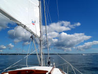 |
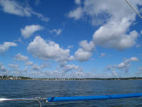
I was off the mooring and underway at
10 am in near perfect weather: Sunny, in the high 60s, but with a
light NW breeze coming directly from Gloucester, my destination. The
puffy clouds made for a pleasantly dramatic sky as I sailed under main
alone through the mooring area and out into Salem Sound.
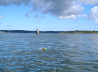
I headed outside Bowditch Ledge (left) and departed the
Sound between Misery and Bakers Islands, out into Massachusetts Bay
heading still into the wind, slightly stronger breeze and seas. |
 |
 |
 |
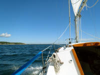 |
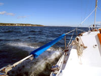
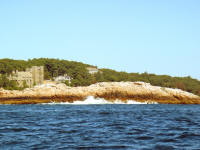
The trip up the coast was uneventful, sailing just off
the wind under only the main sail. I tried hoisting the genoa, but had
to fall off the wind too much to make it up the coast so furled it.
While the sea was running only about two feet, maybe three from time to
time, the surf crashing ashore on Kettle Island (right) was pretty
impressive. |
 |
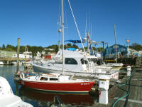 |
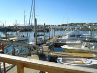
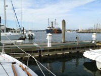
I arrived at the prearranged slip with
Brown's Yacht Yard
at about 2 pm. Chip Ahoy and I were soon settled in (the 5-Mile-Wifi
antenna, hoisted up the mast to the spreaders, on the left), hooked up
to shore power and all for $49.50/night.
Right across East Main Street from the boatyard's
entrance is a convenient store/gas station and a restaurant. I walked
across and had dinner, their seafood plate. Back aboard Chip Ahoy I
hooked up the laptop, connected to a good Wifi signal, and was soon
online for the evening. By late
evening I was still comfortable in the cabin, not too cool. I began
thinking of staying another night, heading home Monday morning instead.
(Sep. 18, 2010) |
 |
 |
|
 |
Sunday morning I booted up the laptop and checked the
weather forecast, over a few cups of "teabag" coffee. Today's weather
looked good -- sunny, mid-70s, seas about two feet, but the wind had
shifted to the SE. A cold front was moving in, would arrive later today. Tomorrow's forecast called for building seas and
wind; mid- to upper-20s gusting to over 30 mph. Prudence led me to
decide today was the better day to reach for home, shoot for arrival
before the front arrived. This was after all a
planned overnighter; I didn't want to risk being stuck in Gloucester
over Monday too. I wonder why the wind's seemingly always blowing from the
direction I want to head? After watching one of
Gloucester's famed fishing fleet boats pull out, I broke camp and cast off,
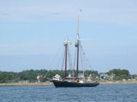
departing the boatyard just before noon. Passing through the harbor, a
classic Gloucester schooner (the
Thomas E. Lannon?)
was anchored to my starboard.
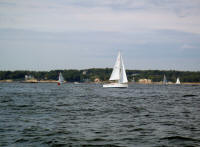
With Bakers and Misery Islands a mile
or two ahead, John Graichen
("Malacass") reached me on my cell phone. He knew I would likely be
coming home today, was out sailing, thought maybe we could get together out
here. I spotted him just outside Misery Island, headed toward him.
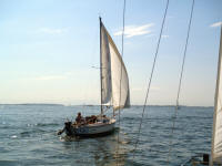
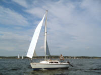
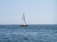
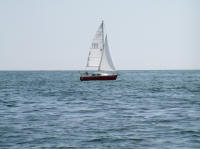
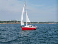
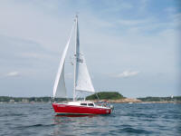
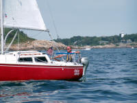
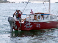
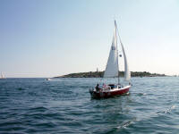
We coasted around each other in a very light breeze
taking photos. (Sep. 19, 2010) |
 |
 |
 |
 |
 |
 |
 |
 |
 |
 |
 |
 |
 |
|
|
Photos above of Chip Ahoy and me were taken and provided
by John Graichen. |
|
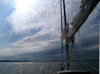 |
Noting the approaching front, we parted; John headed off
toward Eagle Island, I pointed toward the Beverly coast and Salem Harbor
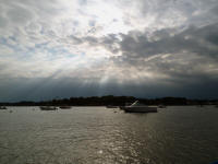
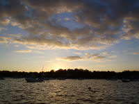
beyond, hoping to beat the incoming weather. The front brought clouds
but no rain. I reached Chip Ahoy's mooring by about 4 pm, decided to
spend the night aboard; take the launch in come morning. (Sep. 19, 2010) |
 |
 |
Getting out of the sleeping bag on Monday morning was a
bit tough; the temperature had dropped overnight, was in the low-50s and
the wind was blowing a good 20 mph. I got the coffee going, wrestled
with a weak Wifi signal, spent time with LogMeIn.com's tech support and
gave up, before the launch service started up at 9 am.
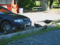
Back on land by 9:45 and up to the parking lot, a flock
of five grazing wild turkeys greeted me. |
 |
|
|
|
Sailing Season 2010 is here, but fading fast! |

|
|