|
All distances are in
nautical miles based on GPS programmed routes: Actual distance
covered varies.
Routes are delineated in yellow (active) or purple (inactive but
available).
Actual tracks are indicated with dotted lines connected.
Total distance covered is based on the GPS trip odometer. |
|
 |
 |
 |
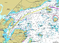
Mooring to Misery Island Cove
4.67 nm
(Fri., Jul 25)
Yellow Route |
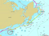
Misery Island to Rockport, MA
15.4 nm
(Sat., Jul 26)
Yellow Route |
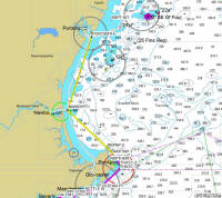
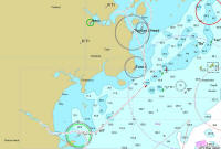
Rockport to Portsmouth
Harbor/Piscataqua River
entrance
27.8 nm
(Mon., Jul 28)
Yellow Route
|
 |
 |
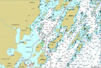 |
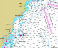
Portsmouth to Saco River
35.6 nm
(Tues., Jul 29) |
Saco River to Portland
18.2 nm
(Wed., Jul 30) |
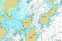
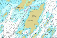
Portland to Chebeague Island
8.29 nm
(Sat., Aug 2) |
 |
 |
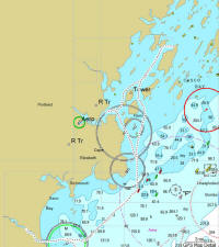 |
Portland to Little Chebeague Island
Close-up |
Chebeague Island
Close-up |
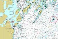
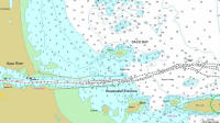
Chebeague Island back to Saco
25.1 nm
(Tues., Aug 5) |
 |
 |
 |
Chebeague Island to Saco:
Hussey Sound
Close-up |
Saco Bay
Close-up |
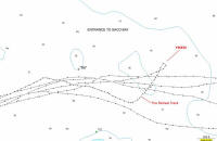
Saco Bay and Chip Ahoy's retreat.
(Thurs., Aug 7)
A REAL Close-Up of tracks! |
 |
 |
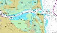 |
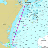
Saco to New Castle (Wentworth's Marina), outside the Piscataqua River's mouth.
35.625.1 nm
(Sat., Aug 9)
|
Wentworth's Marina to Newburyport, MA
18.8 nm
(Sun., Aug 10)
|
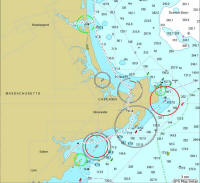
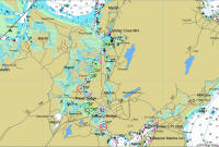
Merrimack River to Newburyport
Close-Up |
 |
 |
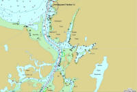 |
Newburyport to home via the
Annisquam River
26.6 nm
(Wed., Aug 13) |
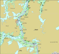
The Annisquam River:
Ipswich Bay to Gloucester Harbor
Close-Up |
Entering the Annisquam River from Ipswich Bay
Close-Up |
 |
 |
 |
The Annisquam River, midway
Close-Up |
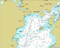
The Annisquam River entering
Gloucester Harbor
Close-Up |
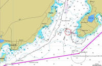
Leaving Gloucester Harbor for home.
Close-Up |